El Niño and the short rains: what Kenya should expect, and how to prepare
Forecasters expect above-average rain across about 80% of Kenya this season, with a strong El Niño that could last into 2027. Here is the outlook by region, what past El Niños did, and how to stay safe.
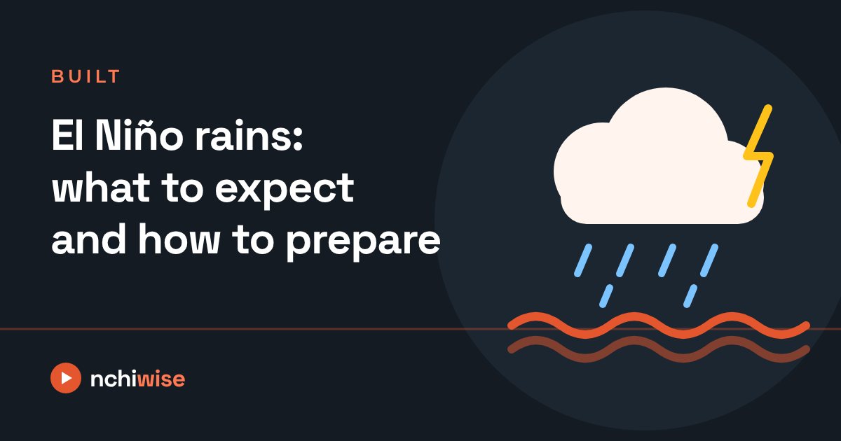
The short rains (October to December) are here, and this year they come with a warning. Kenya's weather service expects above-average rain over about 80% of the country, driven by a developing El Niño. After the deadly floods of March 2026, many families are asking what this season will bring.
What is El Niño?
El Niño is a natural pattern in which the surface of the central and eastern Pacific Ocean becomes warmer than usual. It happens every two to seven years and shifts weather around the world. In East Africa it usually means more rain during the short rains.
Forecasters gave an 81% chance that this year's El Niño will be "very strong", and a 97% chance that it lasts into the first months of 2027. Another ocean pattern, the Indian Ocean Dipole, can make its effects stronger or weaker, so El Niño alone does not decide how much rain falls.
The outlook by region
From the national weather service's October–December outlook, presented at the 13th National Climate Outlook Forum in August:
| Region | Rains start | Expected to end |
|---|---|---|
| Western, parts of Rift Valley and Nyanza (e.g. Nakuru, Kisumu, Narok) | September | Continuing into January |
| Central Kenya and Nairobi | 2nd–3rd week of October | Continuing into January |
| Machakos, Kitui, Makueni, Kajiado, Taita-Taveta, inland Tana River | 3rd–4th week of October | Continuing into January |
| Coast (Mombasa, Kwale, Kilifi, Lamu), Tana Delta and the north-east (Marsabit, Mandera, Wajir, Garissa, Isiolo) | 2nd–3rd week of October | 1st–2nd week of December |
| Turkana and Samburu | 3rd–4th week of October | 1st week of December |
- Wettest risk: "prolonged wet spells and occasional isolated storms" in several areas. Some places could get more than 700mm of rain.
- The exception: Turkana and Samburu are expected to have poor to fair rainfall, with a 15–20% chance of mild drought in Turkana.
- Why it matters most in the east: in eastern and north-eastern counties, the short rains bring over 40% of the year's rain.
What past El Niños did
- 1997–98: brought some of the worst floods in Kenya's history, with deaths, mass displacement and badly damaged roads and bridges.
- 2023–24: heavy rain, floods and landslides killed hundreds of people.
- March 2026 (not El Niño): the long-rains floods killed at least 112 people by early April and displaced about 35,000. Nairobi was the worst hit.
The good side
Good rains can mean better harvests, more pasture for livestock in drier counties, and fuller dams for water and hydropower. Farmers are advised to use the seasonal outlook together with the weather service's daily, weekly and monthly forecasts and county advisories when planning planting.
How to stay safe
- Never walk or drive through moving flood water. Water that looks shallow can sweep away people and cars.
- Know your risk. If you live near a river, on a steep slope or in a low area that flooded before, plan where you would go and keep important documents in a waterproof bag.
- Follow official forecasts. Check the Kenya Meteorological Department's alerts and your county's advisories, not forwarded messages.
- Watch for disease after floods. Boil or treat drinking water. Health officials warned of cholera and malaria during the March floods.
- Know who to call. In an emergency, contact the Kenya Red Cross or local authorities.
We will update this page as the season develops.
Sources
- 80pc of Kenya faces above-average rains, prolonged wet spells, Capital FM (26 Aug 2026)
- Kenya Met warns of increased rains from October as strong El Niño event looms, Eastleigh Voice
- 2026 Kenya floods, Wikipedia (summary of police and Interior Ministry figures)
- Kenya faces deadly flooding with at least 108 people killed, Africanews (29 Mar 2026)